If you happen to be sightseeing remotely on Google Maps, perhaps for a future actual vacation, turn on the satellite imaging and check it the imaging. You might need to turn off the 3D feature.
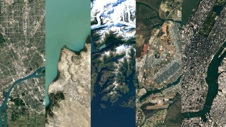
Google said that it now uses images from Landsat 8, an imaging satellite launched by the US Geological Survey and NASA in 2013. Landsat 7, launched in 1999, is still running. It’s just been tough work putting a global mosaic together after a hardware bug in 2003 started clawing at images.

Combine newer, sharper, more colorful images with Google’s Earth Engine APIs to piece together 700 million megapixels of data and you have greens, grays and blues like you’ve never seen before with not a single cloud or storm in sight.

Hopefully you’ll be looking good enough for your next photoshoot from Landsat 8 up some 436 miles above. Check the new look out on Google Maps or Google Earth this week.
Source: Google
Via: Droid Life